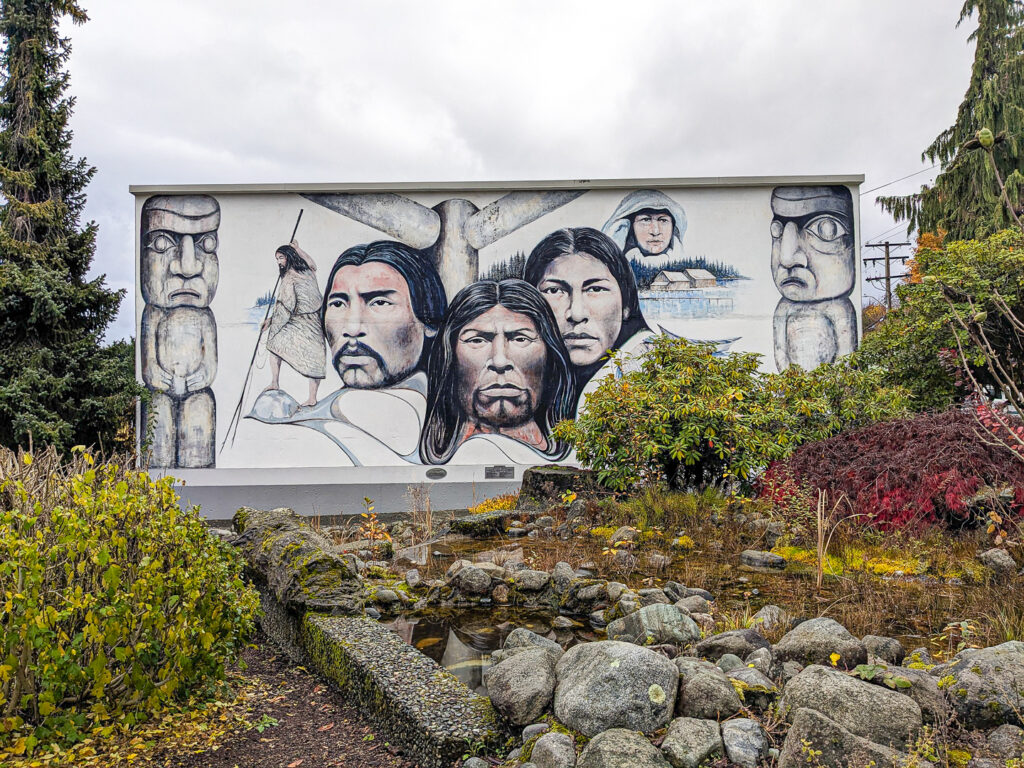
In the Tribal Regions of the Coast Salish, Nuu-Chah-Nulth and Kwakwaka’wakw
– the first peoples of Vancouver Island

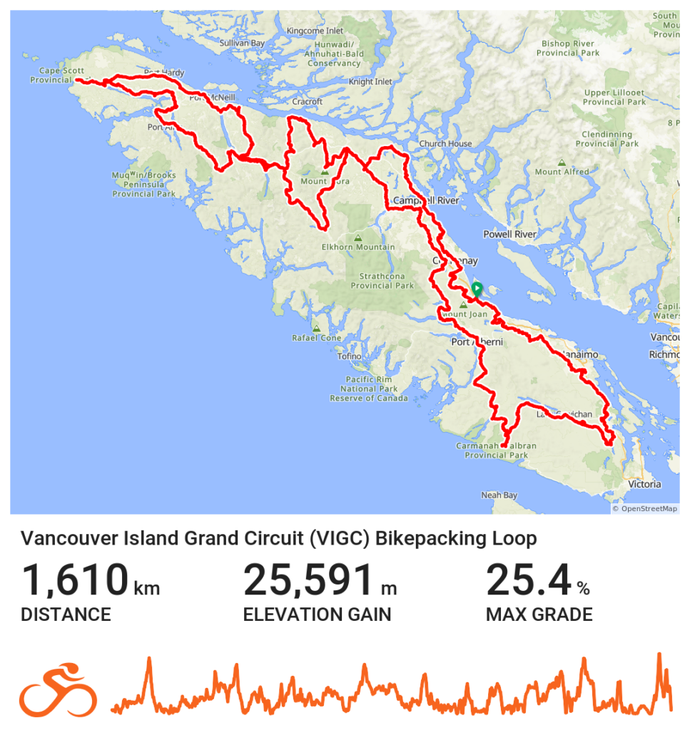
| Distance: 1610 kms | Days: 20+ | Unpaved: 84% | Singletrack: 1% |
| Rideable Time: 100% | Total Ascent: 25,591m | Highpoint: 687m | Difficulty: 7 |
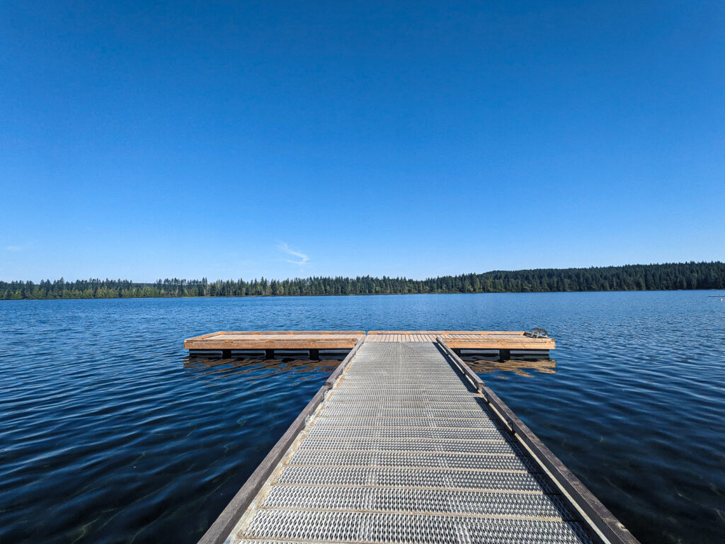
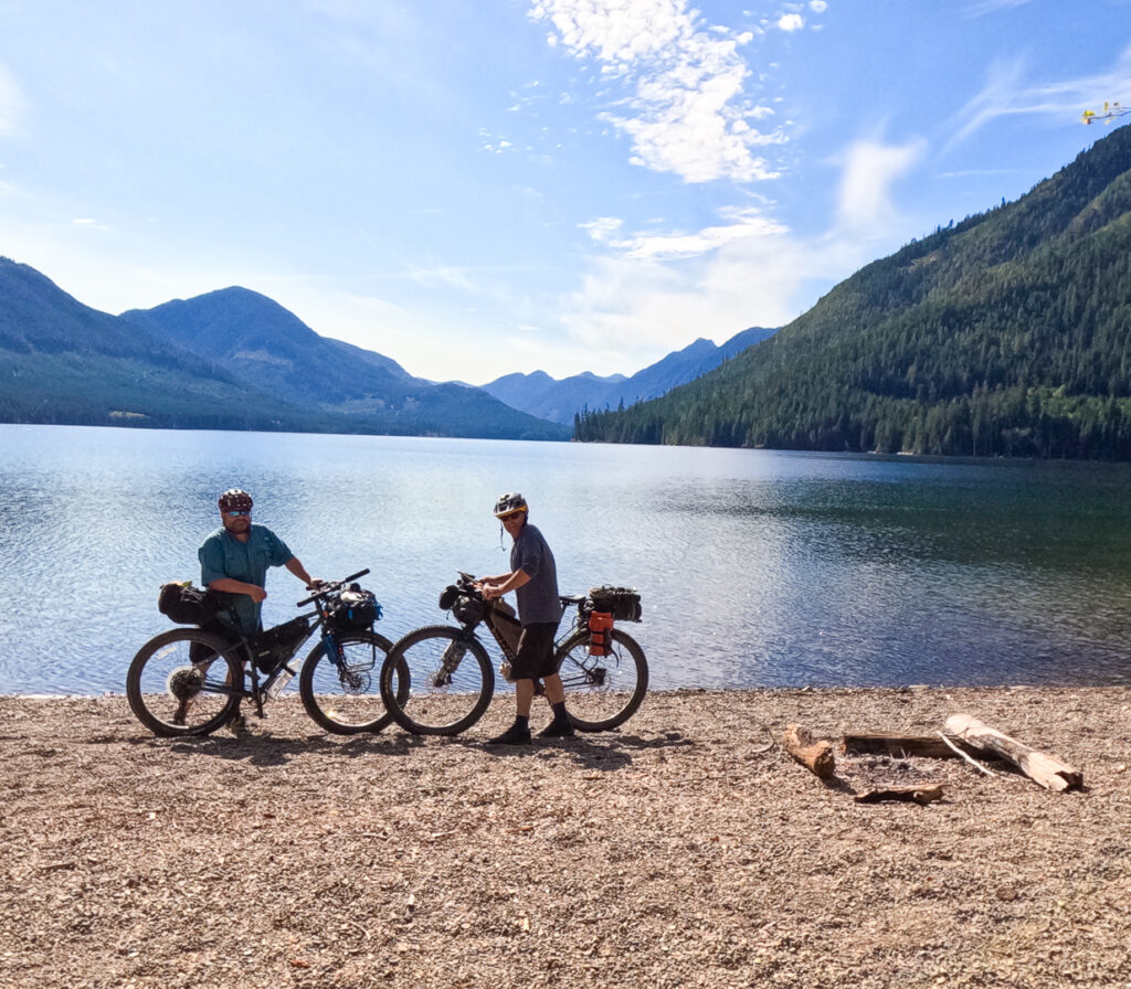
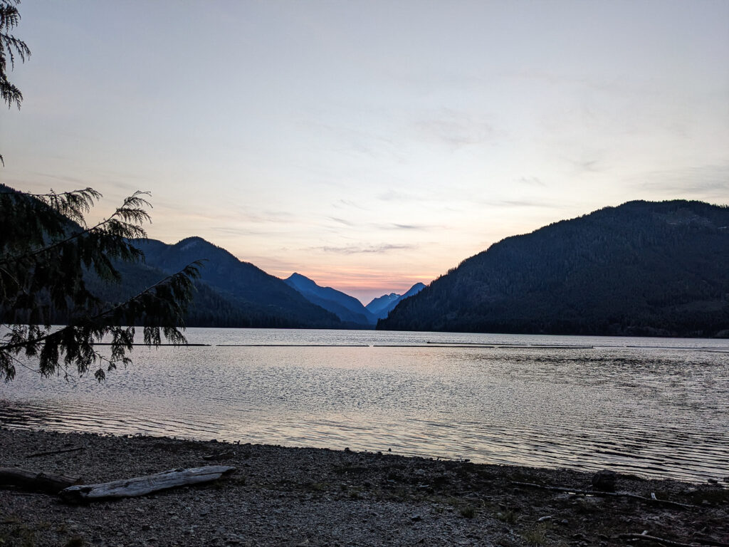
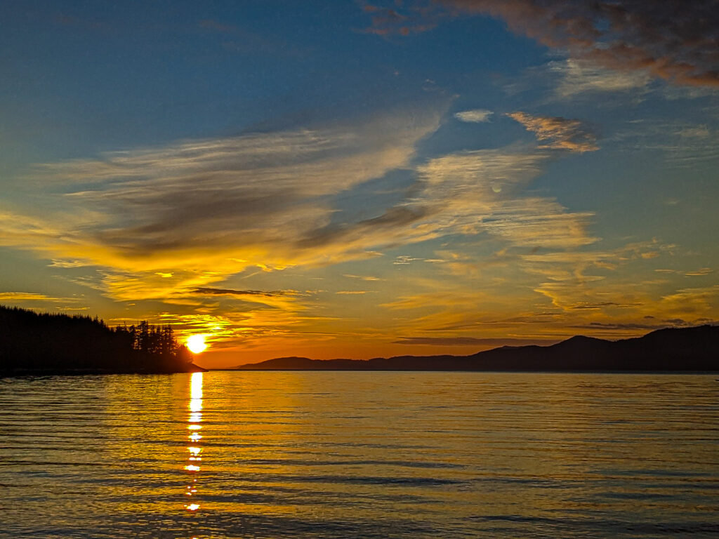
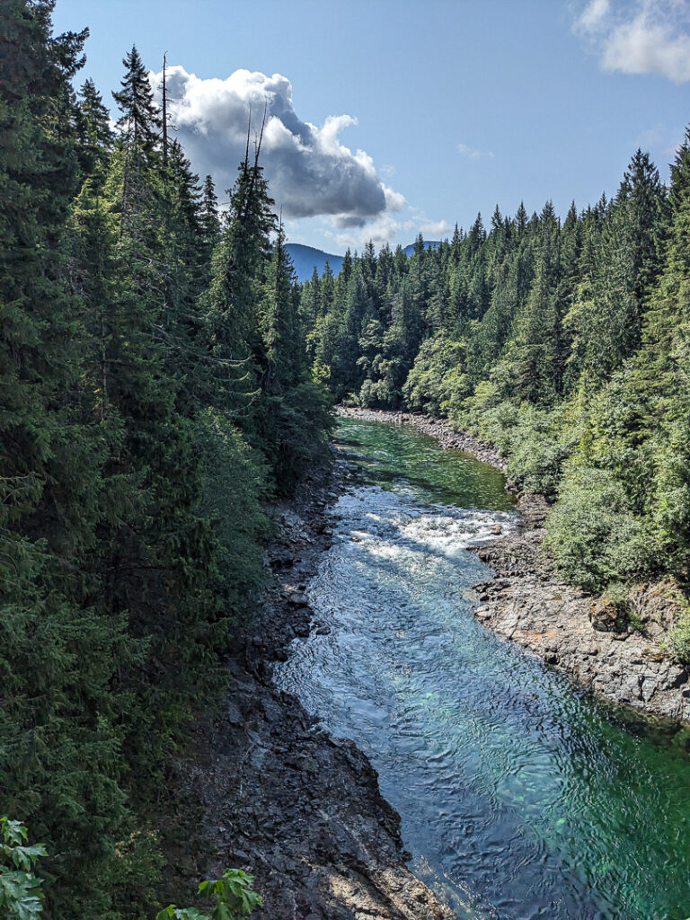
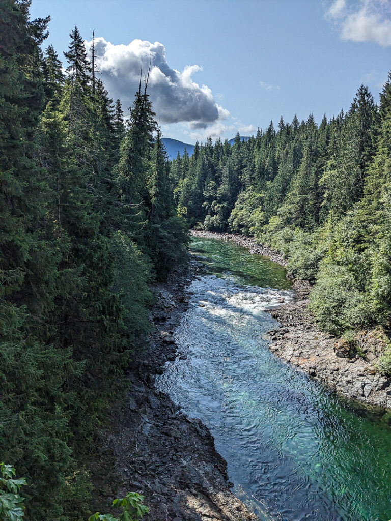
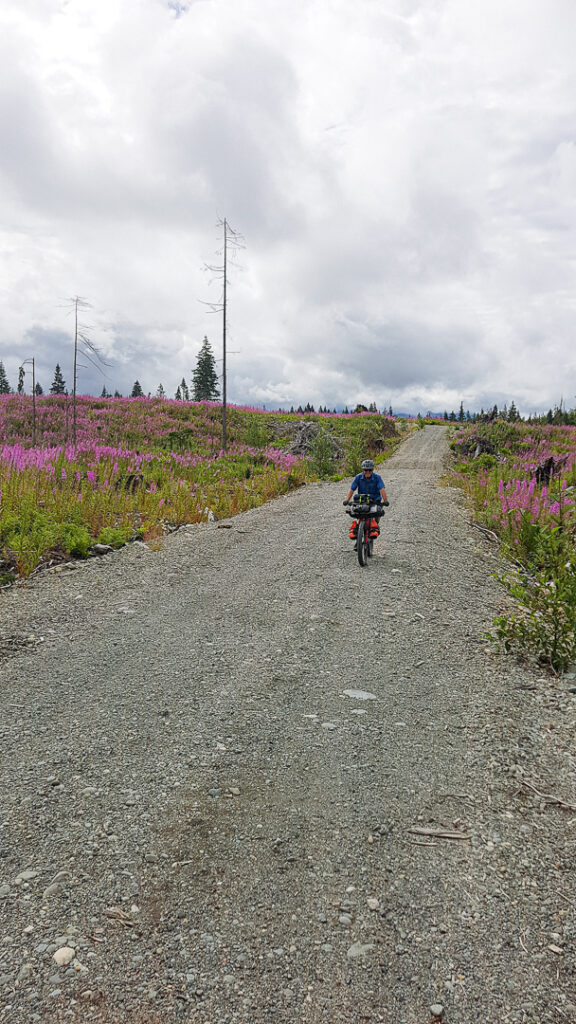
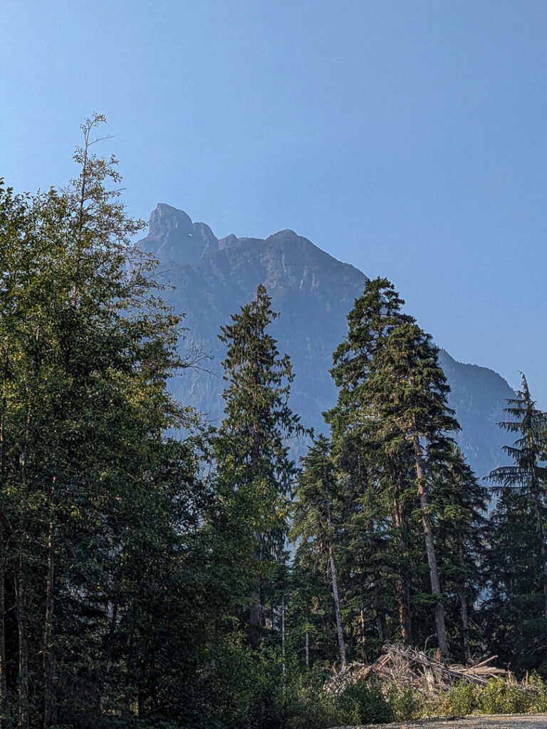
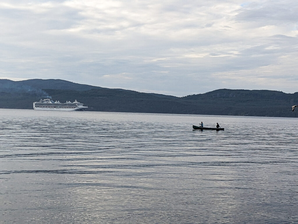
The Vancouver Island Grand Circuit Bikepacking Loop is an incredible 1600-kilometer adventure circumnavigating Vancouver Island, British Columbia. The route links pastoral countryside, regional parks, vast valleys, looming coastal mountains, majestic fjords, and ocean views by connecting everything from unpaved regional trails to forest service roads. The loop offers great gravel riding through some truly remarkable wilderness and offers abundant opportunities to experience the cultural tapestry that makes Vancouver Island a unique destination. Enjoy what it means to be on “Island Time.”
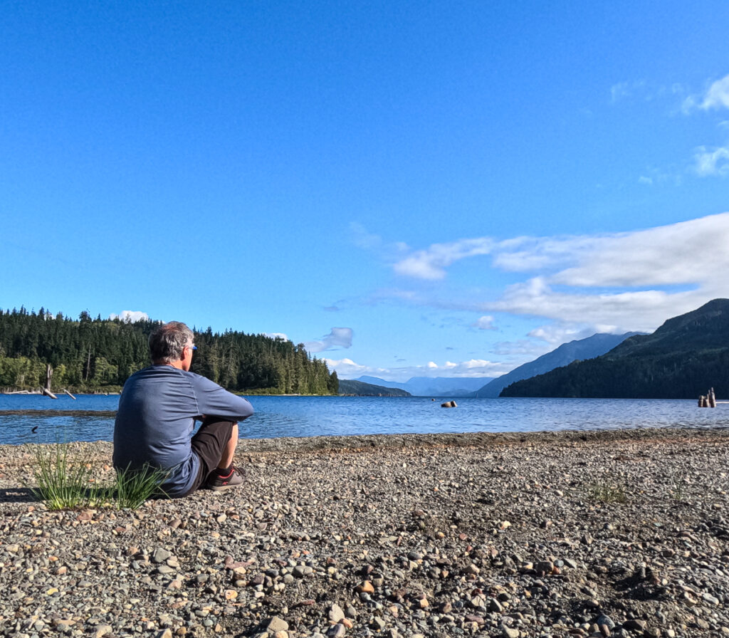
Ancient stands of temperate rain forest, mild winters, and long stretches of golden, sandy beaches are the hallmarks of Vancouver Island. The year-round access to outdoor recreation, offers stunning hiking, climbing, skiing, and some of the best single track mountain biking in Canada. Vancouver Island also has a myriad of resource roads when linked provide unparalleled bikepacking potential.
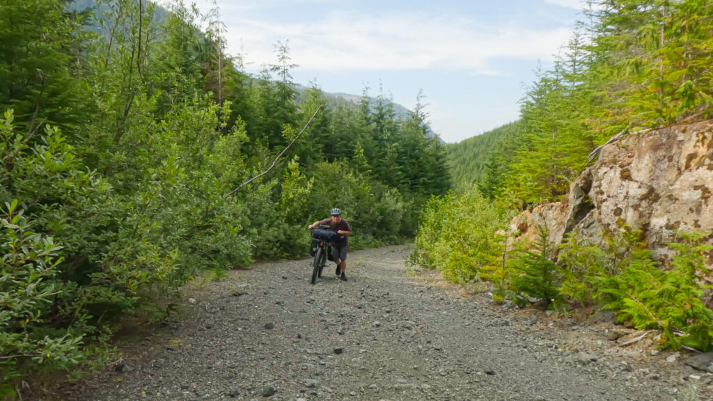
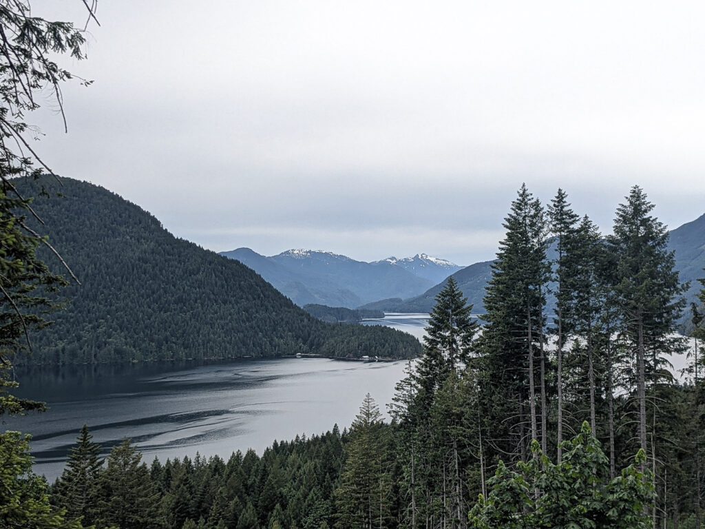
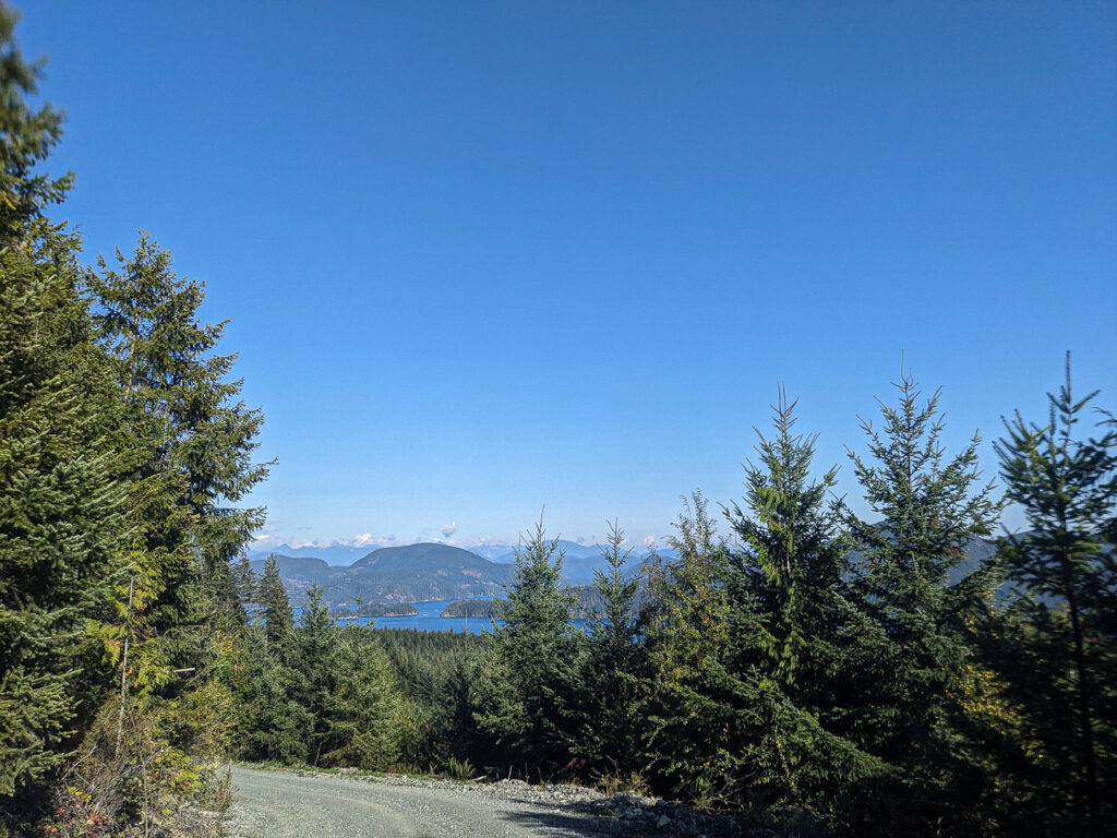
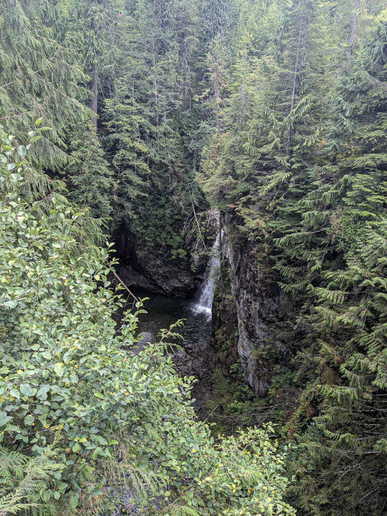
The VIGC is a multi-day loop which starts from my front door in Fanny Bay, which is famous for its aquaculture, especially oysters. The route starts by winding its way along gravel roads, community/regional trails, and short sections of single track to the charming farming communities of Arrowsmith Coombs Country. Several Provincial Parks are along this stretch each offering something unique with a favourite being Englishman River Falls Park with its stunning waterfalls, and its excellent campground. From here the tour takes to the back roads by-passing the busy city of Nanaimo and joining up with the Cowichan Valley Trail (a section of The Great Trail aka Trans Canada Trail) and riding through coastal communities and serene pastoral landscapes on the way to the water sport mecca of Cowichan Lake. Next, a short, paved section yields to logging roads and a rough double track to the Carmanah-Walbran Provincial Park, “… a luxuriously forested sanctuary that is without a doubt one of the most remarkable wild places on Vancouver Island” (BC Parks website). The rider then follows a system of gravel roads, through Port Alberni to Campbell River known as the Salmon Capital of the World, and the gateway to the remote, rugged wilderness of North Vancouver Island. In this section, riders will tackle steep ascents and some rough roads, skirt by magnificent lakes and breathtaking views of beautiful fjords, eventually reaching the northwest tip to the unforgettable beauty of Cape Scott Park/San Josef Bay. Doubling back, the route then heads towards Port Hardy to the east side of the island. Weaving in and out from the coast, the rider will be rewarded with fantastic views of the Johnstone Straight and the Discovery Channel with opportunities for oceanside camping. Once back into Campbell River, the loop uses a series of urban rail-trail connections and seaside roads to continue south trough the small city of Courtenay, followed by a climb up to Vancouver Island’s legendary singletrack riding hub, the Village of Cumberland. The route wraps up on gravel roads, with the longest section of hike-a-bike of the loop, back to Fanny Bay.
The opportunity to see the wonders of the Island from the saddle of a bike is not to be missed but remember that this is a long and at times difficult route. The rider is not to underestimate it as it covers varied geography and climate zones. A prepared rider is sure to have an adventure that will not soon be forgotten…Enjoy!
NOTE: During the Summer of 2024: Iron River Main leading in and out of Campbell River was closed for road maintenance. This should be completed by the end of 2024. The published loop shows the route using the Iron River Main.
UPDATE: Spring 2025: The Regional District of Nanaimo has upgraded the section of the trail between the north and south portions of the Lighthouse Country Regional Trail. Stairs (with a bike ramp on the side) and a bridge over Nile Creek has been constructed (19 kms from Fanny Bay). This offers a choice to the current route of riding to the decommissioned railway tracks, across the railway bridge to Charlton Drive.
HIGHLIGHTS:
Charming Coastal Communities: take the time to explore these communities, several have special events occurring throughout the year. Chat with the locals and find out more about the communities they live in. These are also important resupply points.
BC Recreation Sites and Provincial Park Campgrounds: These often have attractions like waterfalls, lakes, and hiking. Naka Creek is one not to miss – right on the Johnston Straight, marine mammals can often be spotted and at the right time of year salmon can be seen jumping not far from the beach. Always make sure to leave the camping sites cleaner than when you arrived.
The Great Trail aka The TransCanada Trail: a good part of the southern part travels on longest recreational path in the world.
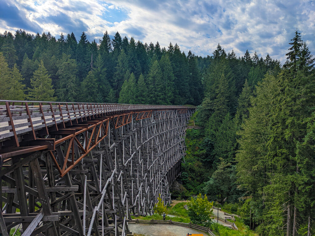
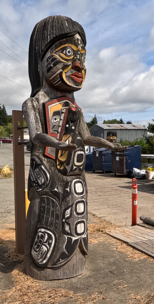
Cowichan Valley: in the southern part of the loop, the Cowichan Valley is wine country, enjoy a visit to a winery for a tasting or cycle tour to several of them. The Valley is also home to over 700 farms, many offering farmstands and farm-to-table restaurants. Experience the rich, warm culture of the local Indigenous Peoples by visiting museums, cultural centers or visit the City of Totems – Duncan. Interested in water sports? Here there is no shortage – from flyfishing to kite boarding to tubing down the Cowichan River. The Kinsol Trestle Bridge is a wonder of engineering.
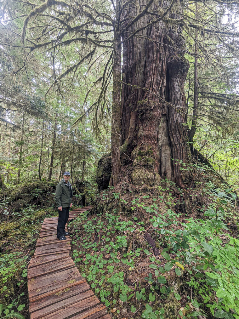
Carmanah-Walbran Provincial Park: a remote, rugged park and home to some of the world’s largest trees.
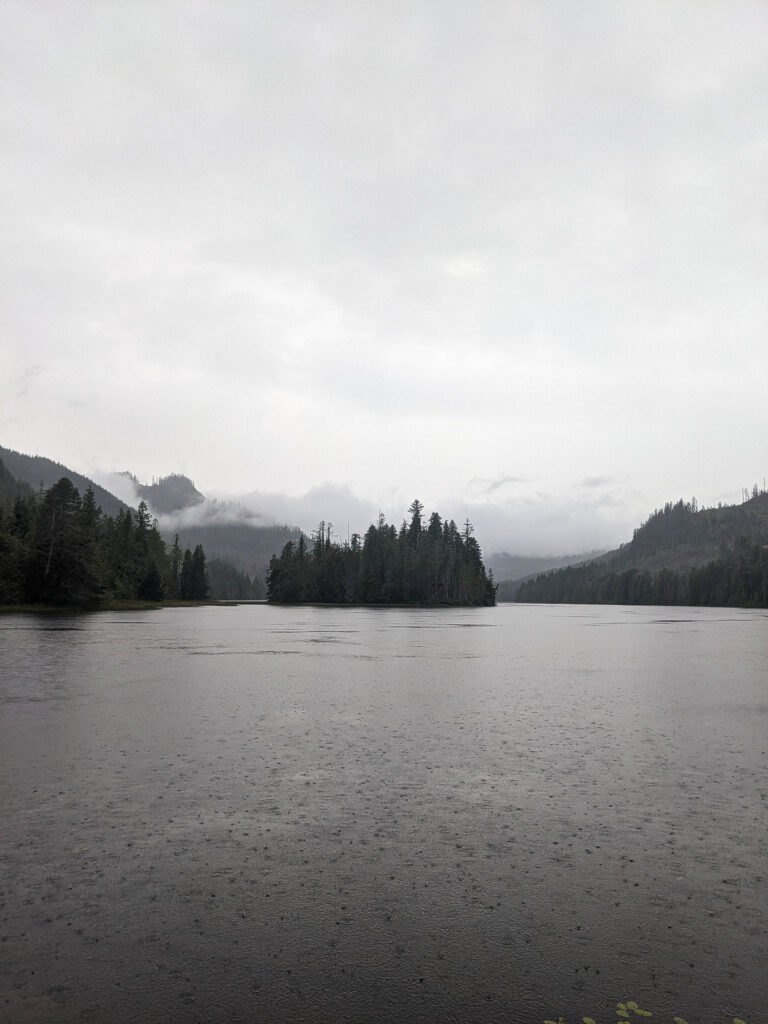
North Island: True back road riding, with spectacular vistas – Grand Central Lake, Neroutsos Inlet, Cape Scott Provincial Park/San Josef Bay (North Coast Trail), Nimpkish Lake where the Nimpkish River enters the lake (North End), Johnstone Straight – and the numerous lakes and waterfalls.
Alice Lake Loop Tour: The unusual karst formations is a draw for this loop. The VIGC touches a couple of these, Eternal Fountain, and Devil’s Bath. Little Huson Caves is also worth a stop.
Craft Breweries: there are over 40 breweries on Vancouver Island! And the good news some are right off the loop.
Ferry from Port Hardy: an adventure of a lifetime by travelling the inside passage to Prince Rupert then on to Haida Gwaii
Ferry from Port McNeill: to Malcolm Island, to visit Sointula and Bere Point Regional Park and campground with breathtaking ocean glimpses, see a passing pod of orcas or even more remarkable is the sight of these black-and-white killer whales rubbing on the smooth pebble beaches. To Cormorant Island, Alert Bay the oldest community on Vancouver Island and visit the rich living culture of the ‘Namgis First Nation of the Kwakwaka’wakw.
Mountain biking (singletrack): the Island has several mountain biking hubs that are on or within a short distance of the loop. With a two island hop from Fanny Bay there is Hornby Island. From Comox a ferry ride goes to the riding on the Sunshine Coast, as well as some excellent bikepacking trips.
MUST KNOW:
- Ideal bike: For those with good bike handling skills, a gravel bike with minimum 45mm tires could do the route, but, either a rigid or hardtail mountain bike may be a better choice to manage the rough sections. In either case, having a wide-range drivetrain will come in handy for the steeper hill sections, and its also recommended to ride on durable tires preferably tubeless. Having a good rig is important as there are few bike shops on the north and west side of the island. Basic bike repair skills and a good repair kit is highly recommended. On sections of the loop flagging down a vehicle will be at the very least a long wait.
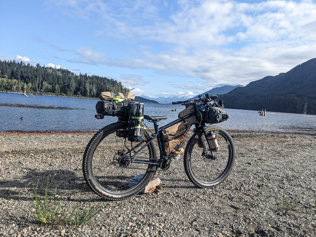
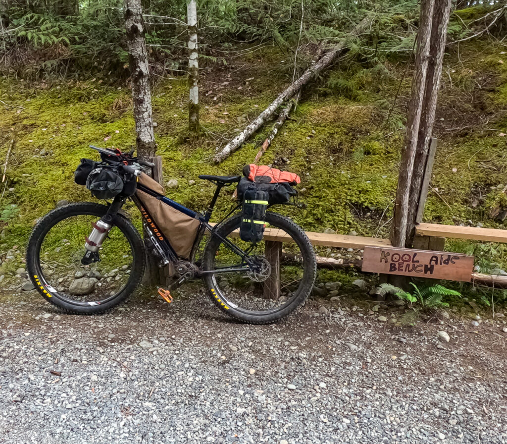
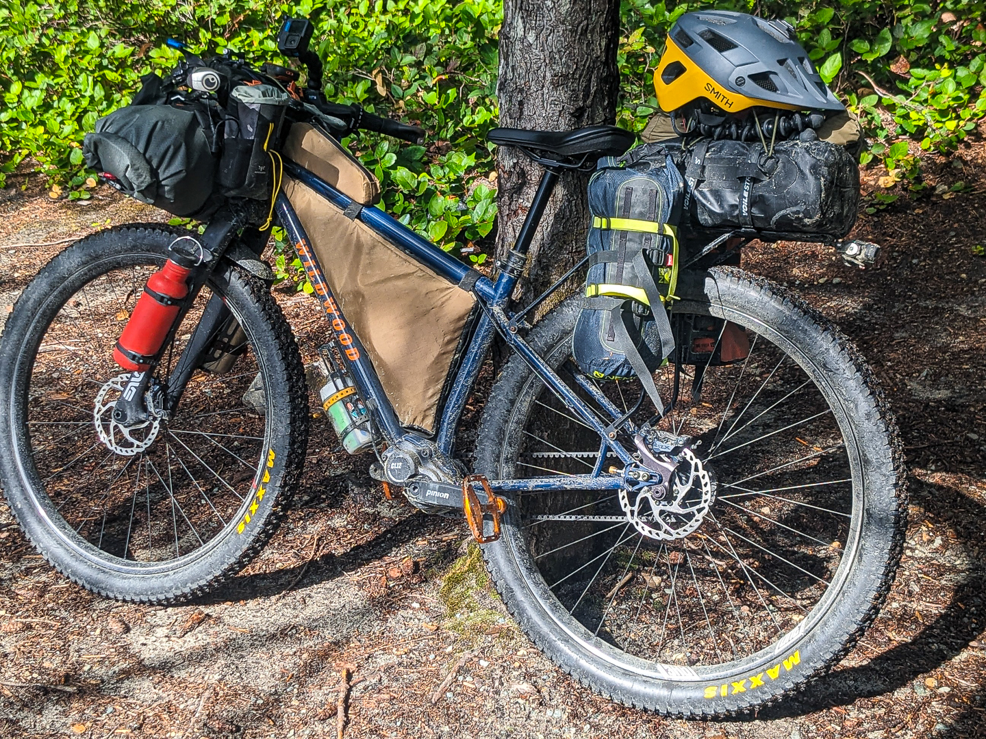
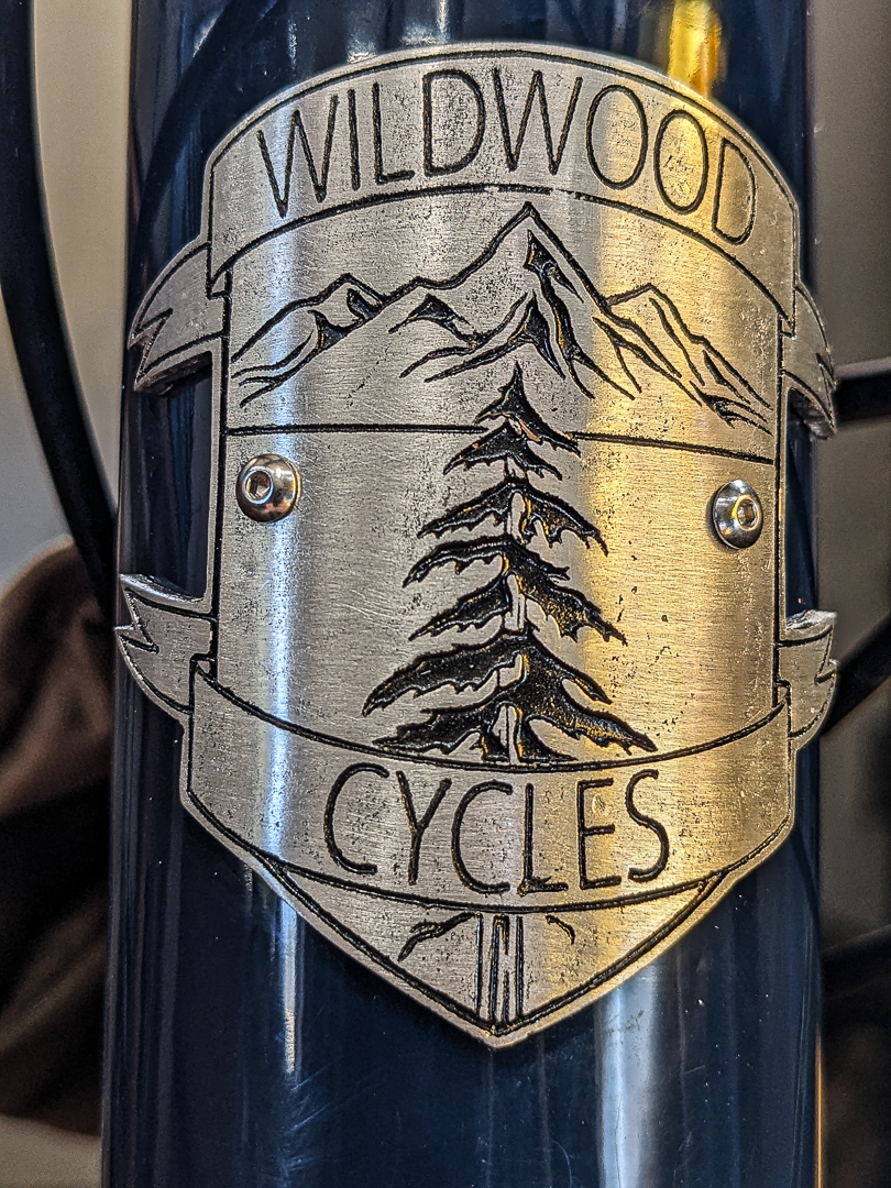
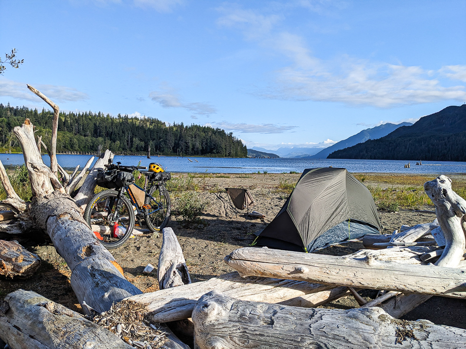
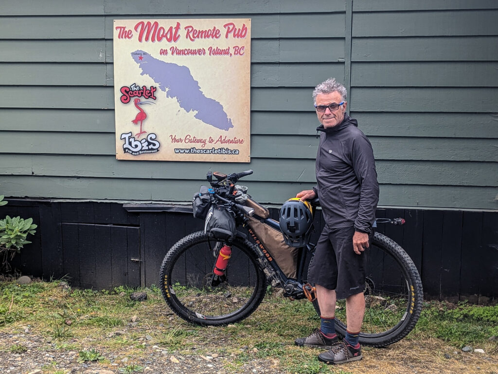
- My rig for the VIGC: Custom built bike by Jesse Hildebrandt of Wildwood Cycles right here on Vancouver Island in Nanaimo. He created a piece of art that also doubles nicely as a bike! It’s a Pinion Gear Box (C1.12) rigid mountain bike with rotary shifter, Gates carbon belt drive, We Are One 29er carbon wheels with I9 1/1 hubs, Maxxis Rekon 29×2.6 tubeless tires, ENVE carbon forks, OneUp Components dropper post, Ergon SMC Core saddle, Jones H-bar with Ergon grips. Racks and bags: Jesse also built a custom rear rack with triple boss mounting on each vertical arm, it holds a Sealline 10L Discovery Deck Dry Bag on the flat deck, a SealLine 5L Baja Dry Bag on one vertical arm, and the Nemo 1P Dragonfly tent on the other; custom made H.M.P.L Roll-Top Frame Bag, H.M.P.L Top Tube Bag, Ortlieb Handlebar Bag + Ortlieb Accessory Pack , 2x Apidura Backcountry Food Pouch, Wildwood Cycles Cages on each side of fork for water bottles.
- When to ride: The best months to ride are between middle of May to early September. You can expect most general stores and resupply points will be open during these months. Spring and fall are best for lower daily temperatures, less risk of fire season, but rain and cold nights are to be expected. The seasons can be unpredictable on Vancouver Island with sudden weather changes whatever time of year you decide to ride. Spring has a higher chance for winter blowdown and unfavourable/unrideable road conditions, be prepared to reroute if necessary.
- Route direction: The route is best ridden clockwise, as presented, some of the steep descents, would present a middling to low fun factor as a climb. It also mitigates some closed gates. But, it can be ridden in either direction.
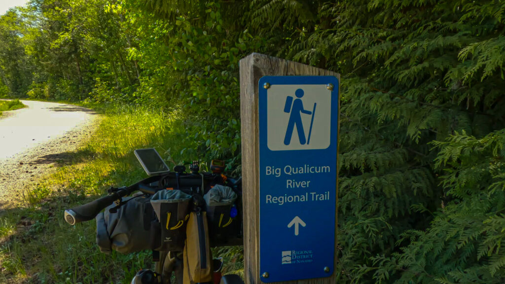
- Gates: There are no gates (these are the big yellow gates across the logging road) which impede the ride in the direction the loop is presented. This is not to say there are no gates to get around. There are three that need to be by-passed, and oddly the gates are approached from a non-gated road at the other end. The first is at the end of the Big Qualicum River Regional Trail and the Horne Lakes Cave Road, this is to stop vehicular traffic from coming down to the hatchery, easy to get around. The second is at the end of Comox Lake (Cumberland) coming from Port Alberni, and during the Summer a forest company or a security firm employee will be at the gate. There will always be surprised look when a bikepacker comes through, but no hassles. The third is at the bottom of Hastings Main (at the very end of the trip), easy to get around, and again no gates at the top end.
- Getting here: The VIGC skirts two major cities, Victoria, and Nanaimo. The loop can still be accessed readily enough.
- Victoria: connect the popular, multi-use trails; follow Lochside Trail, E&N Trail, Galloping Goose Trail, through the City of Langford by following the “The Great Trail” signs to Sooke Wilderness Trail until the Cowichan Valley Trail is reached.
- Ferry from the mainland to Swartz Bay (Victoria) Option 1: is to follow the option above. Option 2: take the Mill Bay-Brentwood Bay ferry – “the Island’s most beautiful shortcut” (branded by BC Ferries) by following Lochside Trail to Island View Rd, Stelly’s Cross Rd to Verdier Ave. Once in Mill Bay ferry terminal (Bamberton Provincial Park Campground nearby) follow Mill Bay Rd to Shawnigan-Mill Bay Rd, travel through Shawnigan Lake to Renfrew Rd then connect to the Cowichan Valley Trail.
- Ferry from mainland to Nanaimo: Departure Bay ferry terminal (recommended) – follow the Nanaimo City Trail to Nanaimo Parkway Trail to Harewood Mines Rd, Intersect Nanaimo Lakes Rd/Southforks Rd. Duke Point ferry terminal – follow Hwy 19 to Hwy 1 (Trans Canada Hwy) to Spruston Rd. This is a remarkably busy access to the loop due the traffic volume.
- Ferry from Sunshine Coast (Powell River) to Comox: follow Ellenor Road, Anderton Road, Ryan Road, Old Island Highway, 5th Street across the 5th Street Bridge into the city centre of Courtney.
- By air, Victoria Airport: follow Victoria Airport Perimeter Trail (parallels Willingdon Rd.) to the traffic circle continue Willingdon Rd. turns into Canora Road to next traffic circle and pick up Lochside Rd. then get on the Lochside Trail and follow the directions from the ferry section above.
- By Air Nanaimo Airport: From Spitfire Way get to Hwy 1, cross the Highway and head north (towards Nanaimo), facing traffic on a good shoulder for 450m to Vowels Road turn left, travel across the tracks and take next right, Angus Road, follow to the end, where it will become a trail, cross the bridge over Haslam Creek, to Spruston Road and the route. Alternatively, from the airport cross the Highway and head south for 8 kms to Ladysmith to join the route. This may be a good option if supplies are needed.
- By air, Comox Valley Airport: Follow Knight Rd., Anderton Rd., Comox Rd. to 17th Street Bridge into Courtney
- Long-term access: On Vancouver Island the resource roads are a mainstay of an industry that has been here since the 1880’s. Without the roads it would certainly limit the bikepacking opportunities. Over the last decade the forestry companies have installed gates, this is mostly true for the Mid and South Island. There are sections that are susceptible to public closure without too much notice. For access to continue let folks that you will meet know the ride you are doing and how much you are enjoying the experience of seeing the Island from a bike and meeting the folks along the way. If the opportunity arises go to the local Visitor Information Center and let them know, this will get back to the local governments. Send a letter to the local Member of the Legislative Assembly, you may as well include the Minister of Tourism, Arts, Culture and Sports; Minister of Jobs, Economic Development, and Innovation, stating the benefits that bikepackers can bring to these small communities.
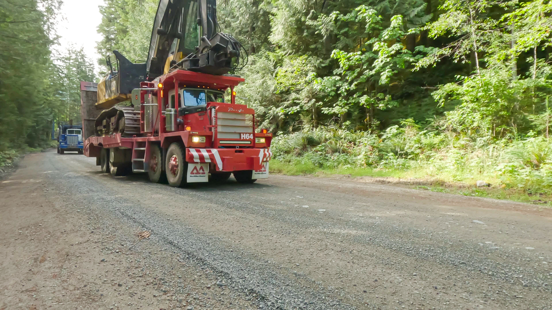
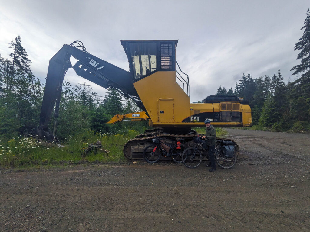
- Logging roads: The loop will follow active logging roads which means large logging trucks will be met. Experience has shown that most are careful and often aware that bikepackers are now on these roads as well, but a reminder that it is your responsibility to also be aware of the hazards. It is best to stop and pull off the road to let them pass safely. Chances are there will be a fair amount of dust kicked up, it is a good practice to let it settle so that you can be seen, and that you can see. Wearing ear buds is just a bad idea. There will be times when active logging or road work is happening as you pass through so follow all signage and instructions by the workers. It is not often that a detour is needed but be prepared to do so. Most importantly, be friendly and wave.
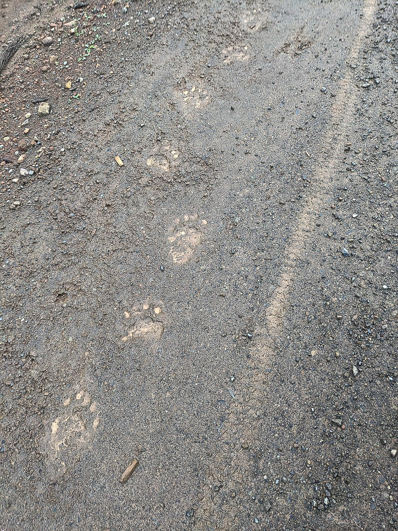
- Wildlife: Vancouver Island, especially the Mid and North Island, is home to wild animals, including black and grizzly bears, cougars, and wolves. It is important to be bear and cougar aware, always carry bear spray, and hang your food at night. While riding, talk loudly and make noise to avoid startling a wild animal, and be involved in an unnecessary interaction.
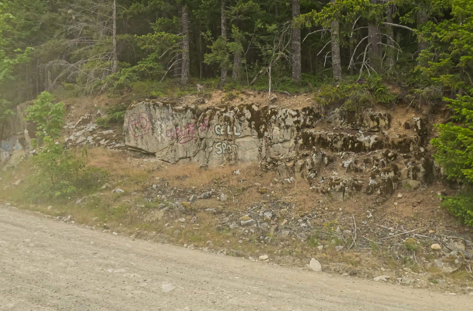
- Cell Coverage: Do not depend on cell service when away from cities and villages. There are signs on the roads that mark the “Cell Spot.” This is where a signal is likely. It is best (highly recommended) to carry a satellite device like Garmin’s InReach or the SPOT X.
CAMPING/LODGING:
- BC Recreation Sites: https://www.sitesandtrailsbc.ca/ these camping sites are dotted across Vancouver Island and offer pit toilet, picnic table, fire rings and often situated on a stunning lake, where swimming and fishing are possible. Most rec sites are non-reservable and free, but some sites have a cash only fee ($10-$25). Favourites are Nixon Creek (Cowichan Lake), Lowry Lake, Atluck Lake, Kathleen Lake, Naka Creek (ocean front), Tlowils Lake.
- Provincial Parks: https://bcparks.ca/find-a-park/ these provide a few more amenities, which may include bathrooms and showers. These will require a fee and the option of reserving a site, which is recommended during the high season of summer https://camping.bcparks.ca/ Here’s a list of favourites: Englishman River Falls Park, Cowichan River (Stoltz Pool Campground), Marble River Park, Cape Scott Park, Elk Falls Park.
- Private Campgrounds, Resorts, Cabins/Cottages: an internet search will provide options, including those run by Indigenous Nations.
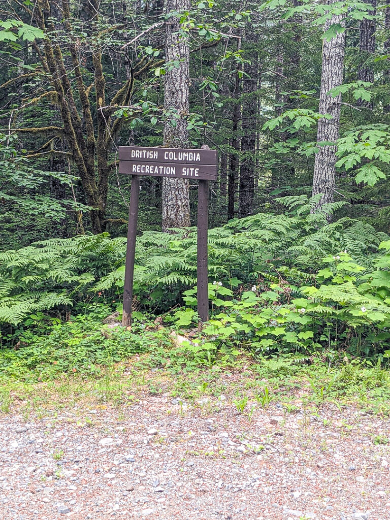
- Hotels/Motels, Bed and Breakfast/Short Stay Rentals (STR): These are always a welcome sight after a particularly long stretch or a devastatingly wet and cold one. These accommodations can be all along the way, even in the smallest hamlets like Woss.
- Wild camping: In the southern part wild camping is impossible, so planning where to stay is more crucial. But the options are bountiful. From mid-Island through the northern part, although possible, there is a lot of privately owned logging land, and it would not be necessarily legal, so best to stick to the designated camping areas – there is a lot of them.
FOOD AND WATER, GEAR SHOPS:
- Resupply: depending on the daily distance covered, resupply can be every two to three days. Remember that smaller communities often have small grocery/general stores or gas station convenience stores, with varying hours that they are open. Best to call ahead or plan accordingly. The larger centres will have full-service grocery stores.
- Water: lakes, rivers and streams are abundant throughout the length of the loop. Often the rivers are difficult to access, and streams tend to dry up during the sizzling summer months. A filter is highly recommended and carry at least two litres of water, more during the summer months. The coastal campsites may not have fresh water (note: Naka Creek does have a stream nearby and as of 2024 a tap), and the rec sites do not have tapped water, but usually a water source is nearby.
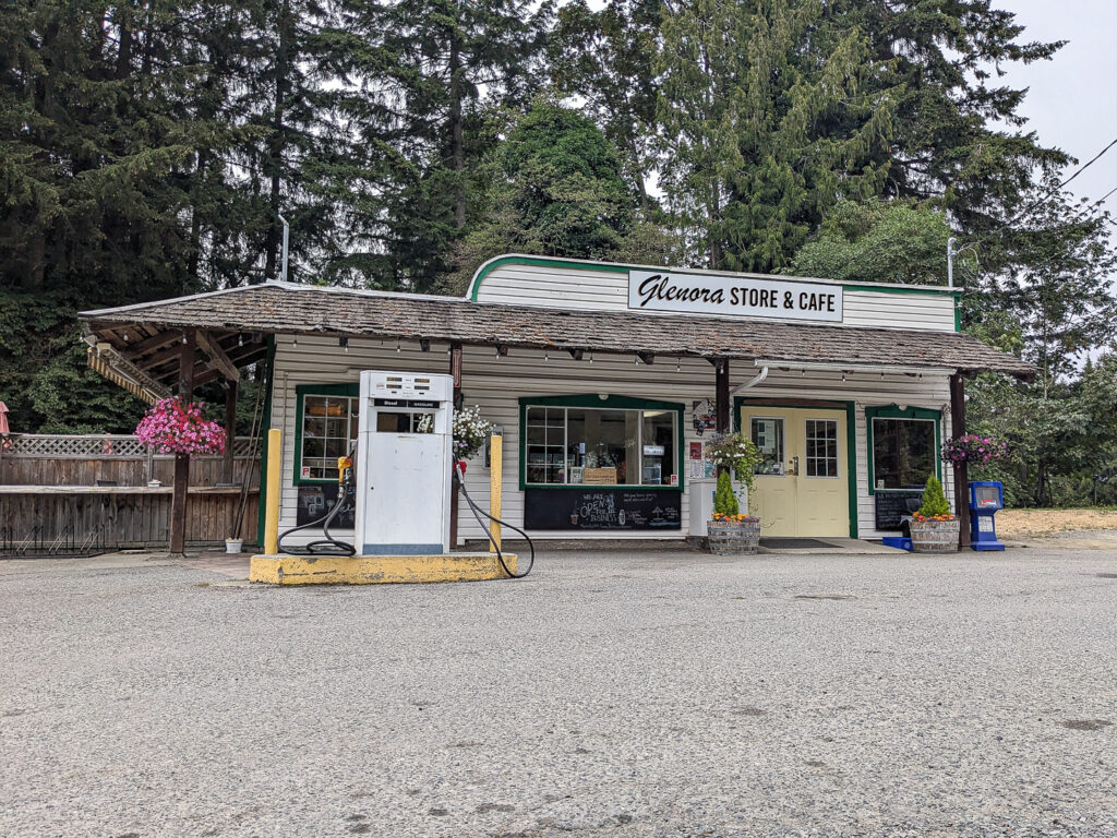
- Breakfast, bakery, coffee shops: most communities have some kind of food offering. Old Town Bakery in Ladysmith, Glenora Store and Café (small resupply option) access from Cowichan Valley Trail at Waters Road (2kms), Ed’s Coffee House in Lake Cowichan, Riverbend Café and General Store in Port Alberni, Café Guido & Co. in Port Hardy, Ideal Cafe in Campbell River and Freyja – The Croissant Story in Courtenay, Grind Espresso in Cumberland.
- Restaurants: for something special, take a side trip and try a Farm-to-Table restaurant like Anderlea Farms or Deerholme Farm. Or a winery like Unsworth Winery or Zenetta Winery; all accessible from the Cowichan Valley Trail at Waters Road. Of course, there is experiencing the famous Fanny Bay oysters and where else but at the Fanny Bay Inn.
- Outdoor gear (fuel): Robinson’s and Mountain Equipment Company (Victoria), Valhalla Pure (Courtenay, Nanaimo, Victoria), SOS (Courtenay), Timberland Sports (Port McNeill), River Sportsman (Campbell River), Robinson’s and Mountain Equipment Company (Victoria), Canadian Tire (Duncan and Port Alberni)
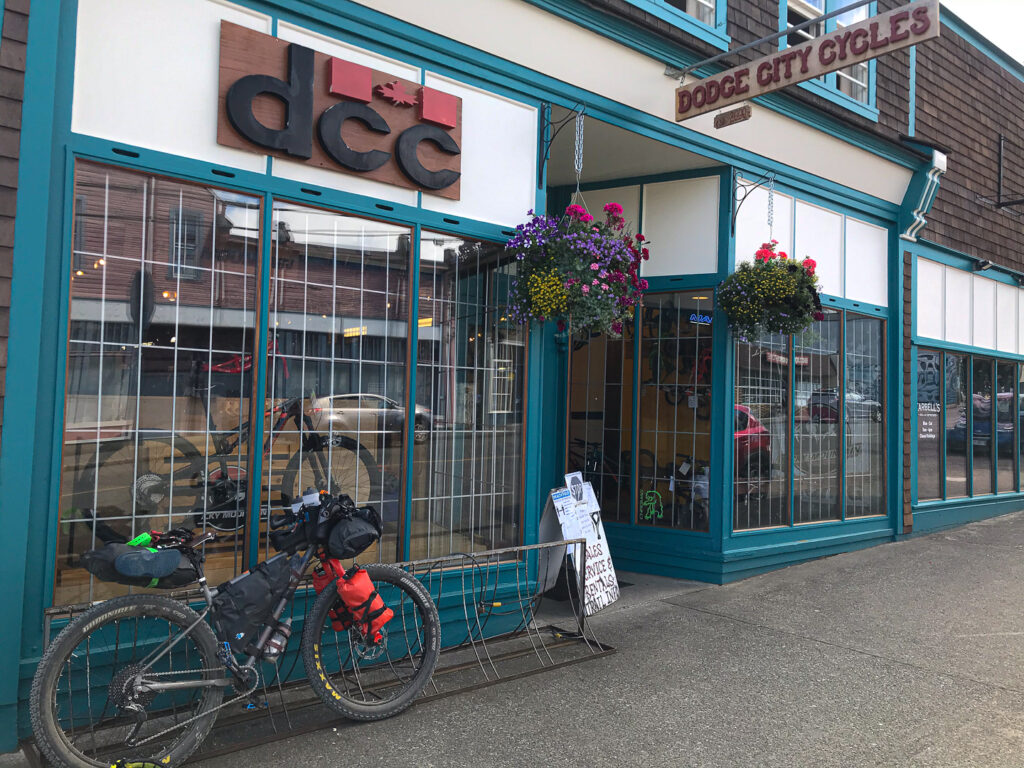
- Bike shops carrying bikepacking gear: Arrowsmith Bikes (Parksville), Rock City (Nanaimo), Russ Hayes (Sidney not far from ferry and airport), North Park Bike Shop (Victoria), Jumping Slug Community Cyclery (Port Alberni), North Island Bike Shed (Port McNeill), Swicked Cycles (Campbell River), Trail Bicycles (Courtenay), Dodge City Cycles (Cumberland).
ROUTE DIFFICULTY: A route this long is difficult to forecast as to how challenging it will be for any given rider at any given time of year. The Island can have stable weather patterns but to expect them to last for the whole journey is unrealistic. The Summer of 2024 when the route was created, the weather was a mix bag of several rainy, chilly days/nights to a run of extremely hot days. The latter can be an issue filling up with water on any part of the loop, monitor carefully and fill up when possible. Road conditions are quite variable on the loop; most are graded main haul roads but with sections, usually only a few kilometers long of rubbly double track, some steep uphill sections that may require hike-a-bike, and a couple of sections of steep rocky downhills, not to mention there’s a lot of elevation gain. Depending at what time of year you ride the road can a bone jarring washboard. The route is 98% rideable with three mandatory hike-a-bike sections: 1. at the end of Englishman River Falls Park official trail, a rough trail continues for about 300m to the start of a logging road; 2. 200 m section connecting Long Lake Main to Toad/Toma Lake Road before Comox Lake; 3. a 2 kms section connecting Idle Main to Buckley Bay Main after leaving Cumberland. There are long sections without resupply, reliable source of water or shelter, and no traffic. It is important that riders are aware and self-sufficient in all conditions. As noted, there is limited cell service on the loop, being ill-prepared for a mechanical or accident could prove to be disastrous. It is best having someone know where you are – tracking and communicating from a satellite device such as a Garmin InReach or Spot X – is a sound plan in case of an emergency. The Search and Rescue teams based on the Island are all-volunteer professional rescue organizations but before you call for them, make sure you really need them.
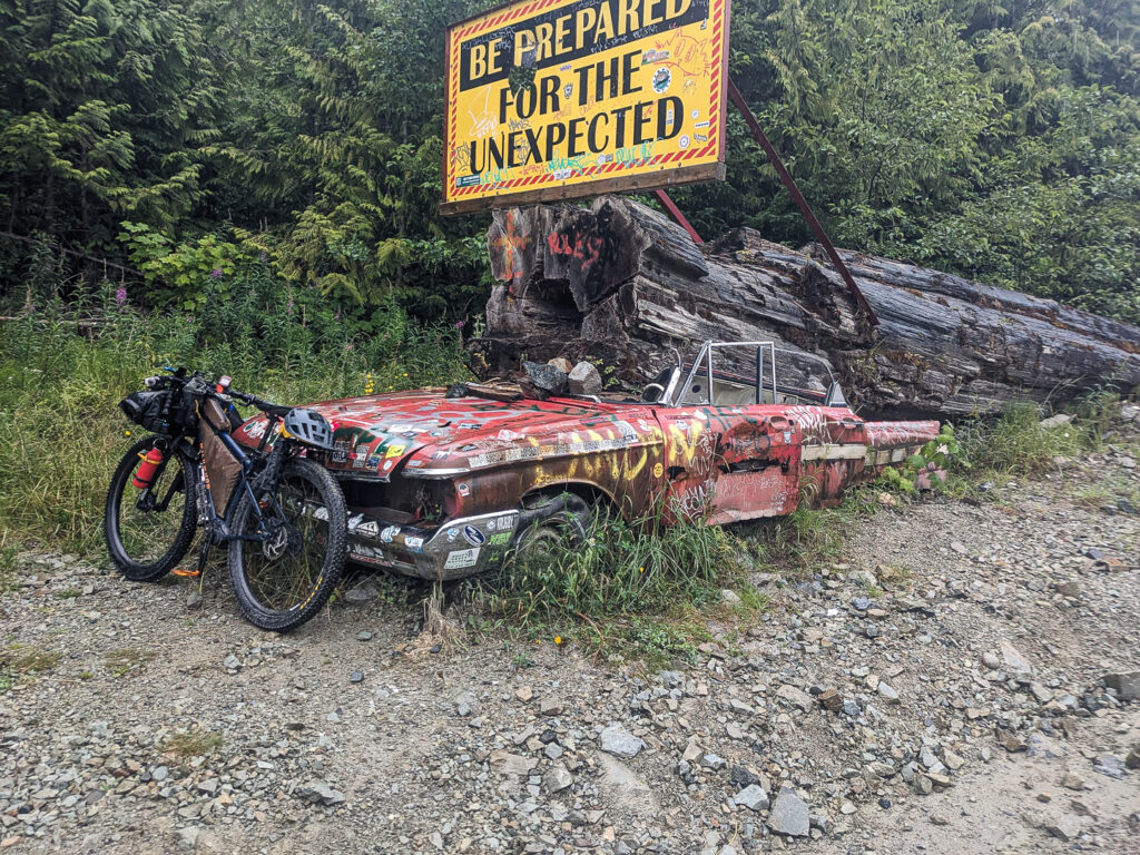
ROUTE DEVELOPMENT: Back in 2016, I read an article about the Vancouver Island Bikepacking Route (2015) by Vik Banerjee aka VikApproved. Inspired, I put the road bike away and bought a rigid mountain bike, strapped on some bikepacking bags, and started riding the backroads of the Island. I have spent the last eight years exploring and creating different routes straight from the front door here in Fanny Bay. These include, The Beaufort Range Loop, which circumnavigates the local mountains and the Mid-Island Loop which heads down to Nanaimo and back home. The more I explored the southern and northern parts of the Island, I twigged to the idea of the real possibility of a route looping the entire Island. I started planning and piecing together the various sections. Summer of 2024 it was time to start riding ….
Since I have work and personal commitments, I decided to do the route in 3-, 4- and 6-day segments staged to be one continuous loop over the summer of 2024. Each segment would be one way with an end point, then starting again from that end point, on the next scheduled date, do the next segment, and repeat. The route was planned with the end/start points at strategic locations to make logistics easier. This project would not have been possible without the generous help and time commitment from my wife Sandra Martindale, and my exceptionally good friend Grant Cummins and his wife Karen. It all worked out, almost…
There was one segment that got done out of sequence – Campbell River to Woss via Muchalat Lake – and later done as the last segment. The route was mostly solo, but I had the good fortunate and pleasure to have Grant join me to share the experience of this adventure. He joined me on three of the segments, which included the Carmanah-Walbran, Grand Central Lake and Tlowils Lake/Stella Lake.
I want to thank those who have put tremendous efforts into creating routes on Vancouver Island for all of us to explore and enjoy:
- Vik Banerjee – Vancouver Island Bikepacking Route and your VikApproved blogs
- Gregg Strong – for all the routes you have done on the Island over last several decades.
- Rob (Salty Beard Bikepacking) – the Caves and Coves Tough Tour helped my research for the section with Kim Creek Main/Tlowils Lake
- Miles Arbour – for publishing the Tree to Sea Loop, it helped with the section Port Alice to Marble River
RESOURCES:
- Vancouver Island Travel – https://vancouverisland.travel/places-to-go/
- Cowichan Valley – https://www.tourismcowichan.com/
- Alberni Valley – https://albernivalleytourism.com/
- Indigenous Experience –
- Vancouver Island North – https://vancouverisland.travel/regions/north-island/
- Telegraph Cove https://vancouverisland.travel/communities/telegraph-cove/
- Site and Trails BC (Rec Site Map) – https://www.sitesandtrailsbc.ca/
- Back Roads Map Book (background map used on devices for VIGC) – https://www.backroadmapbooks.com/
- Trans Canada Trail aka The Great Trail – https://tctrail.ca/explore-the-map/
- Vancouver Island Breweries – https://vancouverisland.travel/itineraries/craft-breweries-on-vancouver-island/
- Vancouver Island Wineries – https://winebc.com/discover-bc-wine-country/vancouver-island/?gad_source=1&gclid=Cj0KCQjw99e4BhDiARIsAISE7P-Hj4e7GzfNbfM0cKs-U1noeqgoXxiPO3eBAhZmkEByg0zJKP2tQAQaAqyPEALw_wcB
- Mountain Biking – Cumberland – https://www.mountainbikingbc.ca/vancouver-island/?gad_source=1&gclid=CjwKCAjw1NK4BhAwEiwAVUHPUFIuhCSmHUPnwCDPOp8dIwuP-tSDUy-30_czuBhA1jl8yfl8qCFIQxoC6OEQAvD_BwE Hornby – https://hornbyisland.com/mountain-biking-hiking/ Sunshine Coast/Powell River – https://mountainbikingbc.ca/vancouver-coast-mountains/sunshine-coast/?gad_source=1&gclid=CjwKCAjw1NK4BhAwEiwAVUHPUI8-ZOdVHvhZ30qE_OVsBm5bxdZ1Mw2PoJ9jMCzLFVnMswsO3FHBAxoCkacQAvD_BwE
DISCLAIMER:
The information provided here is only a planning resource to be used as a reference point in conjunction with your own due diligence. It is the rider’s responsibility if you choose to cycle this route, you do so at your own risk. Vancouver Island Bikepacking, it’s creator or any contributors are in no way liable for personal injury, damage to personal property, or any such situation that might happen to individual riders cycling this route. All efforts have been made to ensure the GPS track is accurate and up to date, but by no means guaranteed. It is recommended that prior to setting out check the current weather forecasts, road conditions, and for any land or road closures. Check locally for any fire bans, and their implication to you as a rider. Also, be aware of how and where to get help if required, some sections are very remote. Please follow the rules of the road, ride sensibly and yield to industrial traffic, this is their workplace. Respect the land, it’s people and leave no trace.
